About
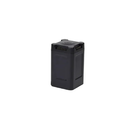
Unlock prodigious value with the DJI Mavic 3 Enterprise Series RTK Module, now available at exceptional clearance prices for instant savings. This sterling module is engineered for grandiose performance, delivering centimeter-level accuracy with high-precision RTK positioning. Its tool-free, quick installation method ensures seamless integration with Mavic 3E and 3T drones, while its lightweight, durable build makes it ideal for demanding fieldwork. Compatible with multiple satellite systems and supporting remote control via DJI Pilot 2, this compact accessory elevates geospatial data collection to a new tier of reliability.
Expansive Applications Across Industries
The DJI Mavic 3 Enterprise Series RTK Module elevates aerial surveying, mapping, and geospatial data collection across various terrains. Whether applied on construction sites, in precision agriculture, or for infrastructure inspection, its integration with mapping platforms amplifies accuracy of georeferenced outputs. Perfect for professional georeferencing tasks, it excels with GIS application media, providing reliable RTK data to enhance the quality and reliability of all site-specific drone missions.
Domestic and Global Market Reach with Secure Delivery
This RTK module caters to discerning professionals throughout India as its main domestic market, while also reaching global buyers in key export territories. Every outlay secures a high-precision accessory, shipped with utmost care. Opt for secure or express shipping to fit urgent timelines-most deliveries are completed swiftly, depending on region and stock. Invest confidently, knowing your advanced drone module will arrive intact and on schedule to power your enterprise.
FAQ's of DJI Mavic 3 Enterprise Series RTK Module:
Q: How is the DJI Mavic 3 Enterprise Series RTK Module attached to the drone?
A: The module features a tool-free quick attachment and removal system, allowing for effortless installation on DJI Mavic 3E and 3T drones.
Q: What benefits does RTK positioning provide for surveying or mapping projects?
A: RTK positioning offers centimeter-level accuracy in georeferencing, greatly improving precision in aerial surveying, mapping, and professional data collection tasks.
Q: Where can the RTK module be effectively used?
A: It can be used in diverse locations such as construction sites, agricultural fields, and infrastructure inspection areas, elevating the accuracy of industrial drone applications.
Q: What is the process for updating the module's firmware?
A: The firmware can be upgraded directly through the drone interface using the DJI Pilot 2 app or compatible USB interface, ensuring the module stays current with the latest features.
Q: Which satellite systems does the RTK module support for enhanced accuracy?
A: The module is compatible with GPS, Galileo, GLONASS, and BeiDou satellite systems for reliable multi-source GNSS data fusion and accuracy.


 जांच भेजें
 एसएमएस भेजें
 मुझे निःशुल्क कॉल करें